Skip to content
STELLA NOVARESEARCH PROJECTS
Chichén Itzá

Field Campaign Detail —
Field Campaign

Chichén Itzá HeritageView Project

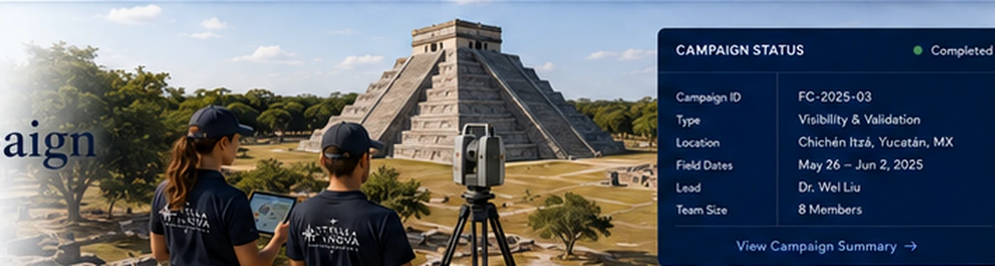
High-resolution visibility and validation survey supporting sightline analysis, model calibration, and digital-twin accuracy.
Field validation campaign
1

Campaign objectives

  • Capture 3D scan data from summit and upper terraces
  • Validate sightlines to celestial and architectural targets
  • Collect ground control points
  • Assess surface conditions and material integrity
  • Support digital-twin accuracy
2

Campaign dates

  • Pre-field planning · Apr 28–May 25
  • Field dates · May 26–Jun 2
  • Data processing · Jun 3–Jun 12
  • Analysis & reporting · Jun 13–Jul 10
3

Permits & approvals

  • INAH research permit · Approved
  • Yucatán site access permit · Approved
  • Drone/UAS authorization · Approved
  • Insurance & liability · Valid
  • Ethics review · Approved
4

Personnel roster

  • Dr. Wei Liu · Campaign Lead
  • Sofía Delgado · Field Director
  • Carlos Ramírez · Operations
  • Miguel Hernández · 3D Modeling
  • Leah Kim · Finance & Strategy
5

Equipment checklist

  • Leica RTC360 Scanner · 2
  • Leica Total Station · 1
  • DJI Matrice 350 RTK · 1
  • GNSS Rover · 3
  • 360° Camera · 2
6

Safety plan

  • Daily safety briefings
  • Weather monitoring
  • Hydration and heat protocol
  • First aid and emergency kit
  • Emergency evacuation plan
7

Daily schedule

  • May 26 · Team arrival and orientation
  • May 27 · GCP survey
  • May 28 · El Castillo summit scan
  • May 29 · Upper terraces scanning
  • May 30 · Drone flights
8

Uploaded field data

  • ElCastillo_Summit_Scan_0528.las · 2.4 GB
  • UpperTerrace_North_Scan.las · 1.8 GB
  • GCP_Network_Adjustment.csv · 2.4 KB
  • Drone_Orthomosaic_0530.tif · 6.7 GB
9

Expected deliverables

  • Processed 3D point clouds
  • Visibility analysis report
  • Digital twin update package
  • Field campaign report
10

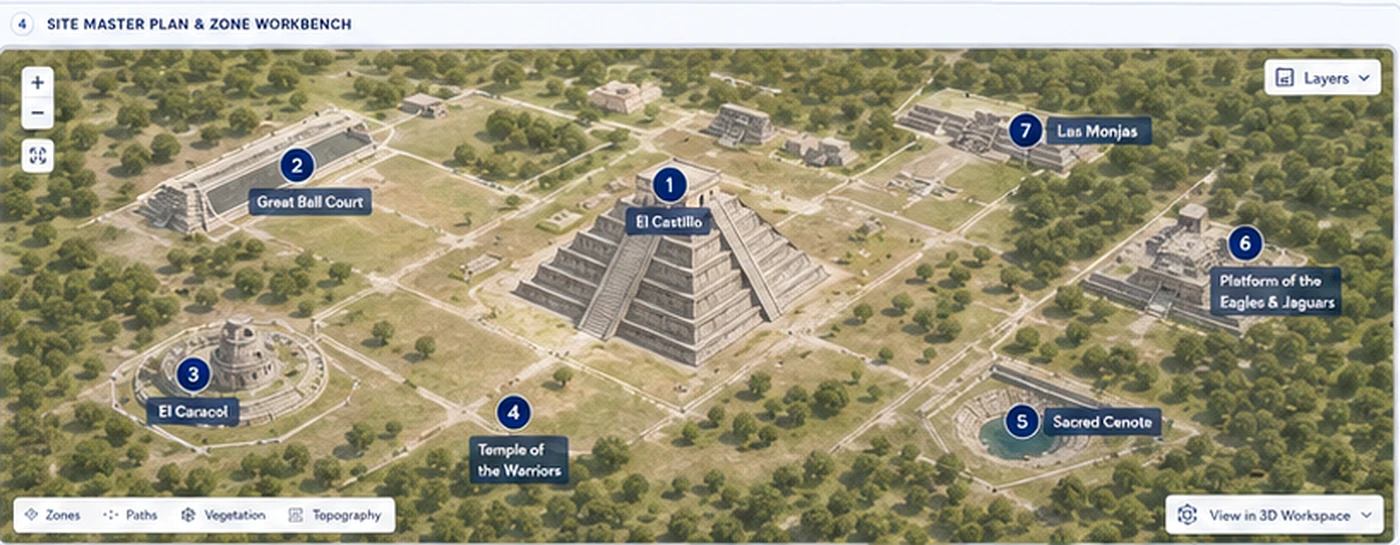
Field zones & map

Field zones
11

Methodological note

This campaign applies a multi-height visibility and geometry-quality sightline survey. Validation data supports digital-twin refinement and interpretive analysis.

Read full note →
12

Campaign health

96%
  • Planning 100%
  • Field execution 95%
  • Data quality 94%